

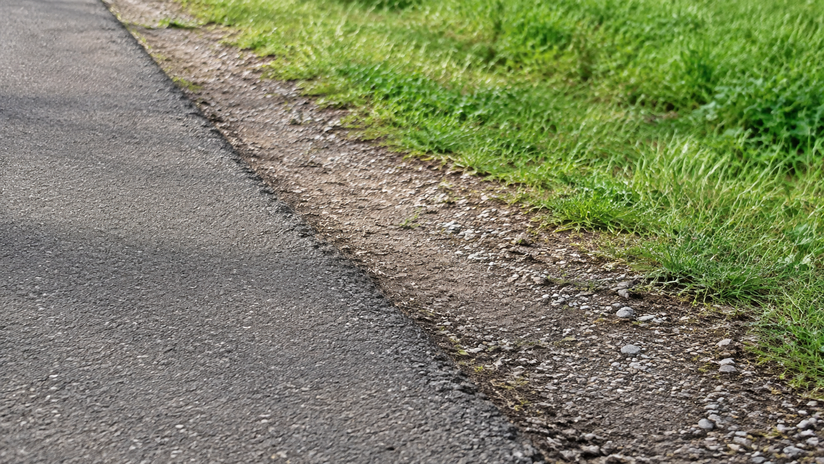
Do you want to ride on mostly paved paths during your bike tour and avoid planning for either coarse gravel or unexpected stairs? Then selecting “Bicycle” in the route planner is not enough. Check the suggested route section by section: path type, surface, and passability are three different questions.
This process helps you choose a planned route. It is not a riding-technique guide and does not certify what a particular bicycle can handle off-road. First determine what you want to avoid, then check whether the available information is sufficient for that purpose.
Specify your exclusion criteria
“Easy to ride” is too vague as a search criterion. Instead, write down what matters for your day: asphalt wherever possible, no known sections where you have to carry the bike, no unexplained narrow passages, and no sections whose condition you cannot assess. When riding with several people, this list should reflect the entire group.
Take the loaded bike into account, not just its tires. With panniers, a narrow passage may turn out differently than with an unloaded bicycle. Conversely, wide tires are not proof that a C10, S10, or C20 is suitable for every surface or obstacle. What matters is the specific bike, the manufacturer’s limits, and the situation on site.
Read path type and surface separately
In its information on route characteristics, Komoot distinguishes between the type of path and its surface. “Cycle path,” “road,” or “trail” describes the path type. “Asphalt,” “paving,” “sand,” or “gravel,” on the other hand, describes the surface. One cannot reliably be inferred from the other.
A cycle path therefore does not have to be paved throughout. A farm track is not excluded solely because of its name, either. What matters is which surface is actually specified and whether further information is missing. Read the legend of the planner you are using instead of transferring line colors from another map.
Track the percentage overview down to the individual section
Start with the summary, but do not stop there. A high proportion of asphalt can hide a short problematic section at the only river crossing. Click or tap the unknown or undesired surfaces and locate the spot on the map. Pay particular attention to connections to bridges, train stations, and accommodations.
The komoot help page on planning on the web points out that selected preferences favor certain types of paths, but do not reliably exclude every surface or incline. A profile such as road bike can therefore be a starting point, but it is not confirmation of a completely asphalted and suitable trip.
Our checklist sorts the open questions. It is not a rating scale for all types of bicycles. An unconfirmed section remains unconfirmed, even if the rest of the route matches your preference well.
| Information shown on the map | What still needs to be clarified | Practical consequence |
|---|---|---|
| Asphalt | Condition, passage, and possible traffic | Surface matches the preference; continue checking the other criteria |
| Paved or cobbled | Specific surface and length of the section | Do not automatically equate it with smooth asphalt |
| Gravel or unpaved | Surface, current conditions, and your own exclusion preference | If suitability is unclear, look for a confirmed alternative |
| Surface unknown | Missing data for this exact connection | Supplement with photos or operator information |
| Stairs, barrier, or chicane barrier | Whether a passable alternative access exists | Do not assume that carrying or passing through is possible |
| Direct line outside the path network | Whether a usable connection exists at all | Do not infer a route solely from the line |
Photos are only helpful if they belong to the right location
A landscape photo can be beautiful and still reveal little about your question. Look for an image that shows the section of path in question. Do the location and viewing direction match? How old is the image? Does it really show the crossing, or only a nearby viewpoint? A photo taken in dry weather does not prove the condition after prolonged rainfall.
Komoot describes images along the route as contributions from the community. Use them as additional information, not as a current assurance. If a location important to you remains unclear, ask the responsible tourist information office or route operator. Send the exact map point or the section between two named places.
Treat stairs and passages as a separate decision
The komoot planner’s map legend lists, among other things, stairs, barriers, gates, and bicycle restrictions. Look specifically for such indications at crossings. The fact that the entire day’s route is suggested as a cycling route does not yet answer the question about an individual access point.
A staircase is an exclusion criterion for a trip without carrying the bike unless a suitable alternative access route has been confirmed. Do not assume that strangers will help lift it. At a bottleneck, looking at a photo is often not enough: the width, turning space, and other obstacles must suit the actual combination of bike and luggage. If this cannot be clarified, find another route.
Move forward with a precise inquiry
A helpful inquiry might be: “We are planning the section between the station and the southern bridge entrance. Is it currently accessible without stairs, and what type of surface is there? Is there a signposted alternative?” Add your travel date and mention that you do not want to carry the bike. This is a self-formulated template, not a description of a specific location.
If details are unclear, ask for the exact location of the alternative. “Over the other bridge” may include an additional section that has not yet been checked. Enter the confirmed connection in your plan in full, then check the new total distance and the connection to the day’s destination.

Repairing a missing connection with a straight line
Komoot describes off-grid sections as planning outside the known network of paths and does not guarantee that they are passable. A straight line on the map therefore cannot replace missing information. Do not use it as a shortcut through an unclear passage just to make the route appear mathematically complete.
A viable alternative must do more than avoid the unwanted gravel. It must not inadvertently lead onto a road unsuitable for you or end at the next obstacle. Compare the start, end, and transitions of the replacement route. If you cannot follow the connection, it is better to change the day’s plan than to create a seemingly continuous line.
The decision remains open on site
Check the route operator’s notices again shortly before setting off. On site, surfaces, construction work, and access points may look different from what you saw during your preparation. An open area in an old photo is not proof that a path is open today. Observe barriers and signs, and stop in a safe place before checking.
If you cannot assess a section, you do not have to try riding it. Walking your bike is also not automatically possible or permitted everywhere. Choose a confirmed alternative or end the tour. This article explains how to select and check a route, not how to overcome obstacles.
Frequently asked questions about route types and surfaces
Does the road bike profile guarantee continuous asphalt?
No. In the komoot example mentioned, preferences influence the selection but do not rule out every unwanted surface. Check the specific route.
Is a cycle path automatically paved?
No. Route type and surface are separate details. Look for surface information and clarify any missing sections if they are important for your journey.
Can I assess a narrow passage from a photo?
Not reliably based on that alone. The image may obscure the perspective, width, or space available around the following bend. Ask for confirmed details or choose a different route.
What should I do if the surface is unknown?
Do not automatically treat it as asphalt or as impassable. Add targeted information. If suitability remains unclear, plan a verifiable replacement section.
Conclusion: The difficult gap matters more than the average
Don’t just check the predominant surface; check the few places where your journey could fail: unknown transitions, stairs, narrow passages, and missing connections. A confirmed detour is more useful than a matching profile without a verified route.
As of September 7, 2026. The inspection table and inquiry template are editorial aids provided separately. No specific route, individual vehicle suitability, or year-round accessibility is guaranteed.

Share:
Reading a cycling route elevation profile: Identify climbs before booking
Offline navigation on a bike tour: test maps and features