


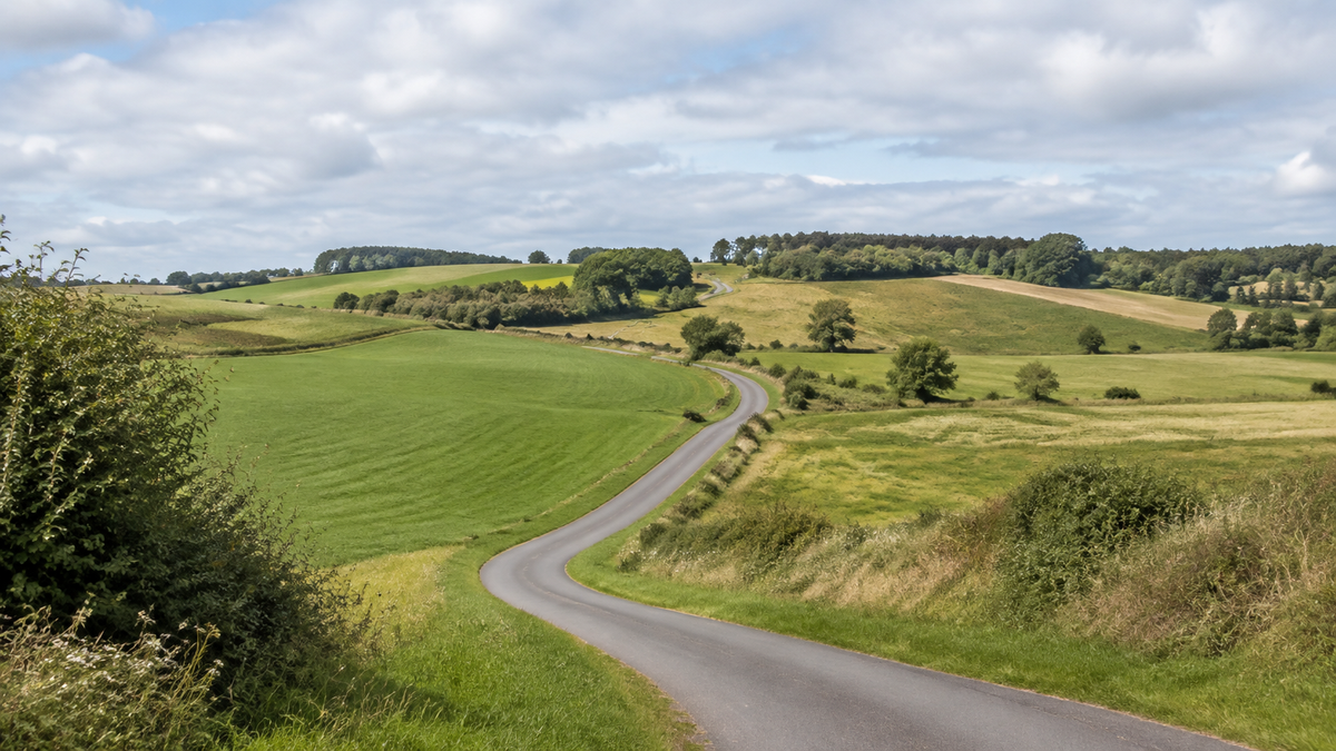
For a weekend on the Altmühltal Cycle Path, you do not have to ride the entire route. The section from Treuchtlingen to Eichstätt is officially described as 44 kilometers and can easily be split into two short cycling days. An overnight stay in Dollnstein leaves time for Solnhofen, the rock formations along the route, and Eichstätt. The focus is on landscapes and geological history, not on covering as many kilometers as possible in a day.
The short tour at a glance
This suggestion follows a continuous section of the Altmühltal Cycle Path. It is not a complete ride from Gunzenhausen to Kelheim, nor is it a loop back to the starting point. The official Treuchtlingen–Eichstätt tour with map and GPX is the basis for navigation. Its 44 kilometers begin at the Volksfestplatz in Treuchtlingen, not in front of the train station. Include the routes between the station, your accommodation, and the cycle path separately in your plans.
| Day | Route | Approximate distance | Allow time for |
|---|---|---|---|
| 1 | Treuchtlingen – Pappenheim – Solnhofen – Dollnstein | approx. 27 km | Solnhofen Museum and the rock formations along the route |
| 2 | Dollnstein – Burgsteinfelsen – Eichstätt | approx. 17 km | A short cycling day and a visit to the town before traveling home |
The Kelheim district gives the distance from Dollnstein to Eichstätt as around 17 kilometers. The approximately 27 kilometers for day one are derived from this figure and the official total, not from a separate track measurement. Depending on the exact location of your accommodation, the daily distances may vary.
Day 1: Take your time through the valley to Dollnstein
From Treuchtlingen, ride via Pappenheim to Solnhofen. Keep the morning manageable: A tour through Pappenheim followed by a museum visit makes more sense than several fixed appointments scheduled one after another. The castle is not simply a flat stop directly along the cycle path. If you want to visit it, check access, opening hours, and bicycle parking options in advance.
Solnhofen Museum focuses on fossils from the region, including original Archaeopteryx specimens. This is a fitting focus for this short cycling day. Secure your bicycle during the visit and do not leave your luggage unattended. Further along the route, the “Twelve Apostles” rock formation and the valley toward Dollnstein are part of the actual riding experience. For a break, leave the moving traffic and do not stop in the middle of a shared path.
Book your night in Dollnstein if this two-day split suits you. Ask about secure bicycle storage and, if you are traveling by e-bike, specifically clarify where you are allowed to charge it. Accommodation in town does not automatically guarantee a lockable bicycle room or a suitable charging point.
Day 2: Burgsteinfelsen and Eichstätt
The second day is intentionally short. After Dollnstein, you reach the Burgsteinfelsen area, then continue along the signposted cycle path to Eichstätt. The shorter daily distance gives you flexibility for breaks and your journey home. If you want to explore the Baroque town, first plan a secure place to leave your bicycle and then arrange your train connection.
You do not need to add an extra climb into the hills. The Jura uplands, castles, and viewpoints are separate excursions involving additional distances and, in some cases, significant climbs. The Altmühltal Panorama Trail is a hiking trail, not the navigation template for this cycling tour. Stick to the appropriate bicycle track and local guidance.
Surface conditions and preparation
The official short route is rated easy. The valley makes planning easier, but that does not mean every meter is flat or paved. The Altmühltal Cycle Path also includes unbound and fine-gravel sections. After rain, careful cornering and keeping enough distance are more important than sticking to a fixed arrival time.
A roadworthy touring bicycle with suitable tires is sufficient for the basic plan; an e-bike is not required. Check the brakes, tires, and luggage attachments beforehand. If you are riding a Cyseekin bicycle, compare the rider, luggage, and accessories with the specifications for the respective model. Do not set off directly from the train platform on your first ride with a fully loaded bicycle.

Traveling there and back by train
Treuchtlingen is suitable for the outward journey, and Eichstätt for the return trip. When booking, distinguish between Eichstätt Stadt and Eichstätt Bahnhof; they are different stations. There are also railway access points along the valley, including in Pappenheim, Solnhofen, and Dollnstein. Plan a specific alternative and check it for your travel day rather than simply leaving “take the train if necessary” as a fallback.
A bicycle ticket does not guarantee a space: the DB information on taking bicycles on trains explains capacity limits on local services. You cannot assume that bicycles will be carried on replacement buses. For a heavy or wide-tire bicycle, also check the vehicle and rack conditions of the specific connection you choose.
Current checks and the limits of the leisure bus
As of: 03/09/2026. The leisure bus specifies concrete transport limits for 2026: seasonal operation on Saturdays, Sundays, and public holidays, limited bicycle capacity, and a maximum tire width of approximately five to six centimeters. Wide-tire bicycles are therefore not a reliable option for this return service. This weekend plan consequently does not rely on the leisure bus.
Shortly before departure, check the nature park tour page, local closure notices, the weather, and railway updates. A saved GPX track is not confirmation that flooding, construction work, or short-term closures have been ruled out. If the information conflicts, contact the Altmühltal Nature Park information center and follow a signposted detour on site.
Frequently asked questions
Can I ride the 44 kilometers in one day?
Yes, the official description presents it as a day tour. Here, two days are a deliberate split to allow time for museums, breaks, and a more relaxed journey home, not a sporting necessity.
Is the tour automatically suitable for children?
No. The short distances help, but riding experience, attention, and safe behavior at crossings are what matter most. Try a comparable outing beforehand and plan breaks around the needs of everyone riding with you.
Share:
Lake Constance–Königssee Cycle Route in 7 Days: From Lindau to Schönau
Adjust your bike helmet correctly: How to check the fit