

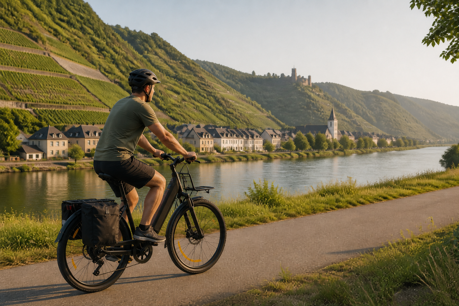
The German Moselle Cycle Route runs from Perl in the border triangle to the Deutsches Eck in Koblenz. Around 248 kilometers, a predominantly flat profile, and ten official stages make it easy to plan. Nevertheless, bank crossings, regional trains, ferries, and current flood or construction notices are part of every reliable trip preparation.
Which Moselle cycle route is meant here?
The Moselle begins in France and reaches Germany at Perl. This plan covers only the German section to Koblenz. The current official tour page lists 248.13 kilometers; the text therefore refers to around 248 kilometers. Anyone planning an international ride from France needs additional stages, maps, and traffic rules and must not use the German distance as the total length.
The spelling also varies. The tourism portal uses the official name “Mosel-Radweg”, while many travelers search for “Moselradweg”. Here, both refer to the same main German route. What matters is not the spelling but the current track: the route changes banks several times and does not run continuously directly between the river and the vineyards.
Ten official stages from Perl to Koblenz
The following places and distances come from the individual official stage pages. Together, they make for a deliberately relaxed trip with time for Trier, Bernkastel-Kues, Cochem, and smaller Moselle towns. The sum of the individual stages may differ slightly from the current total distance due to different data versions and access routes. On site, follow the freshly loaded GPX track and the signposts.
| Day | Section | Distance | Practical focus |
|---|---|---|---|
| 1 | Perl–Nittel | 25.32 km | Short opening section in the border triangle; officially considered particularly suitable for families. |
| 2 | Nittel–Trier | 24.69 km | Arrive in Trier early and allow for city traffic and access to your accommodation. |
| 3 | Trier–Mehring | 25.45 km | After the urban start, a relaxed day's distance follows; stock up on supplies for the next day. |
| 4 | Mehring–Piesport | 25.52 km | Also designated as a family-friendly section; mark rest stops in advance. |
| 5 | Piesport–Bernkastel-Kues | 18.29 km | Shortest day and a useful time buffer for visiting the town, doing laundry, or making minor repairs. |
| 6 | Bernkastel-Kues–Traben-Trarbach | 22.28 km | Short stage; reserve accommodation with secure bicycle storage early during the season. |
| 7 | Traben-Trarbach–Bullay | 24.27 km | Bullay has a rail connection; check the current surface when taking a riverbank alternative. |
| 8 | Bullay–Cochem | 31.45 km | Longest day of the official itinerary; allow extra time for Cochem and possible ferry waiting time. |
| 9 | Cochem–Löf | 26.83 km | Nature-oriented alternatives may be more difficult to ride on after rain than the asphalted main path. |
| 10 | Löf–Koblenz | 25.74 km | Do not plan too tightly for the return journey; bicycle spaces on regional trains are limited. |
Ten days are not a sporting requirement, but the official leisurely itinerary. Anyone who regularly rides 50 to 65 kilometers with luggage can combine neighboring short stages and plan five to seven days of riding. However, this reduces time in towns and the bad-weather reserve. Families or travelers with many sightseeing stops benefit especially from the shorter days.
Cultural stops instead of a long list of sights
On day 3, the reconstructed Villa Rustica in Mehring can serve as a clear endpoint. The official audio tour offers 40 “listening points” between Perl and Koblenz, allowing background information to fit into the ride without requiring an additional museum visit. On the Bullay–Cochem section, Beilstein, with the Metternich castle ruins high above the town, is a possible stop; access, ferry service, and opening hours should be checked separately. Bernkastel-Kues is well suited to spending more time in town because of the short fifth stage. This gives each day of riding no more than one major focus.
Choosing a riverbank: not every alternative is equal
The main route changes sides of the Moselle at designated points. In some areas, paths on both banks are signposted, but this does not mean that both options are equally comfortable or that both are simultaneously part of the official main route. Bridges, ferries, surface, and traffic determine which side is suitable on the day of your trip.
Between Reil and Zell, the official portal lists two options: the left side is closer to nature and has less traffic, while the right leads through Zell. For an overnight stay, train journey, or stop for refreshments, the town side may be more practical. On individual alternatives farther along toward Cochem and Treis-Karden, nature-oriented paths may become soft or uneven after rain. An asphalted opposite bank then offers a more predictable ride, but may run closer to road traffic.
A riverbank choice is therefore not made based on a nice screenshot. Surface, intended destination, bridge location, and current updates all belong together. If you are riding with a trailer, narrow tires, or a heavy e-bike, choose the more predictable surface when in doubt.
Surface, difficulty, and signage
The Moselle Cycle Route is considered predominantly flat and runs mostly on asphalt. It frequently uses dedicated cycle paths, but also includes sections alongside roads, local streets, and busier urban areas. “River cycle route” therefore means neither completely traffic-free nor that the water is visible on every kilometre.
The green-and-white Moselle Cycle Route logo accompanies the main route. On sections with multiple routes or variants on both sides of the river, the current GPX track remains important. A touring bike, trekking bike, or practical everyday e-bike is suitable; very narrow road-bike tyres are less robust on damp, nature-oriented alternatives.
With an e-bike or children
The modest elevation profile is suitable for a standard pedelec with assistance up to 25 km/h. The short stage divisions reduce range anxiety but do not replace a reserve. Headwinds, luggage, and frequent starts can increase consumption. A charger, key, and confirmed charging option at the accommodation should be part of the plan. An S-pedelec may not automatically use the same routes as a bicycle; the applicable traffic regulations must be checked separately.
For families, the official portal particularly highlights Perl–Nittel and Mehring–Piesport. This does not guarantee that the entire route avoids contact with road traffic. Trier, Koblenz, and other stretches through towns require attention. With younger children, 20 to 35 kilometres per day, regular breaks, and getting off the train daily are more realistic than combining stages into double-length days.
Trains, RadBus services, ferries, and boats
The Koblenz–Cochem–Bullay–Wittlich–Trier railway line accompanies large parts of the journey; Trier is also connected with Perl. A branch line runs from Bullay to Traben-Trarbach. This makes it possible to arrange a different starting point, an early finish, or a shortened day. Note that Wittlich station is not directly on the banks of the Moselle, so an additional connection may be required.
Bringing a bicycle depends on the fare, train type, and available capacity. Especially at weekends, a multi-purpose carriage may be full. Replacement bus services generally do not carry bicycles, or only to a very limited extent. Regional RadBus services operate seasonally, usually from April to the end of October; reservations are advisable or required. Timetables should be checked for the specific travel date.
The portal lists seven ferries on the Moselle. However, operating hours, water levels, and bicycle capacity vary. Excursion boats can connect individual towns, but there is no continuous tourist boat connection from Trier to Koblenz. A boat trip is therefore an excursion, not a blanket return-transport option for the entire route.
Accommodation, food, and season
The ten stage towns provide a good accommodation structure. Trier, Bernkastel-Kues, Traben-Trarbach, Cochem, and Koblenz offer a wider selection; in smaller towns, a suitable room sells out more quickly. The official portal lists numerous Bett+Bike establishments. Nevertheless, confirm directly with the property that it has a lockable bicycle storage area, late check-in, and e-bike charging.
Visit Moselle lists March to October as the travel season. This describes the usual season, not a guarantee of favorable weather or no flooding. Early booking is recommended from August through mid-October and for holiday weekends. Wine festivals and events can further limit accommodation availability. Each day includes water, a snack, two possible places to stop for refreshments, and a grocery store; opening hours for small businesses cannot be taken for granted.
2026: Check current conditions before every departure
Research status: September 3, 2026. No reliable static, complete list of all current closures was available on the official Moselle portal. This is not evidence that the route is open. For traffic measures, the planning information refers to current regional information and the Mobility Atlas; when water levels are elevated, the Rhineland-Palatinate flood forecast is authoritative.
The official and government notices must be checked again 24 to 48 hours before departure. On the day of the ride, weather, water levels, and local signage must also be taken into account. After flooding, mud, driftwood, or damaged riverside paths may remain even when the water level is already falling. A specific ferry must be confirmed separately with the operator.
Official map and GPX
The official full route shows the course, elevation profile, and GPX access. The official GPX download should be saved shortly before the trip and made available offline.
A publicly accessible file is not automatically cleared for republication or embedding. This article links to the official track and reproduces neither a viewer, map image, nor GPX file. Creating your own map material would require a separately licensed data source with complete attribution.
Short Planning Checklist
- Clearly distinguish the German section from Perl to Koblenz from a tour in France.
- Download the current GPX file and check each planned riverside alternative individually.
- Check the Mobility Atlas and flood situation 24 to 48 hours in advance.
- Plan trains, RadBus services, and ferries with the date, bicycle rules, and a backup connection.
- For children, choose only suitable sections and daily exit points.
- Confirm e-bike charging facilities and secure bicycle storage at every accommodation.
Conclusion
The Moselle Cycle Route from Perl to Koblenz can be planned using the ten official stages, with short daily distances. However, the predominantly flat profile should not obscure the impact of riverside route choices, local traffic, and changing water levels or roadworks. With an up-to-date GPX file and verified train and accommodation details, the trip can be adapted to different daily distances, selected family-friendly sections, and e-bikes.
Sources and Current Planning
- Visit Moselle: the Moselle Cycle Route – official overview, riverside routing, and tour planning; checked on September 3, 2026.
- Visit Moselle: Full Route from Perl to Koblenz – length, elevation profile, map, and GPX.
- Services, Information and Tips – trains, RadBus, ferries, boats, riverside alternatives, and family advice.
- Rhineland-Palatinate Mobility Atlas – current traffic and roadworks information.
- Rhineland-Palatinate Flood Forecast – water levels and warning status.
- Visit Moselle: Terms of Use for Image Material – licensing and permission restrictions.
- German River Routes: Moselle Cycle Route – secondary overview of topics and stops; details cross-checked with Visit Moselle.
Note: Distances and operating times are planning estimates. Current official authority, operator, and traffic updates take precedence.
Share:
Plan the entire Rhine Cycle Route: 1,450 km from Andermatt to the North Sea
Neckar Valley Cycle Path in 8 Stages: Source to Mannheim