

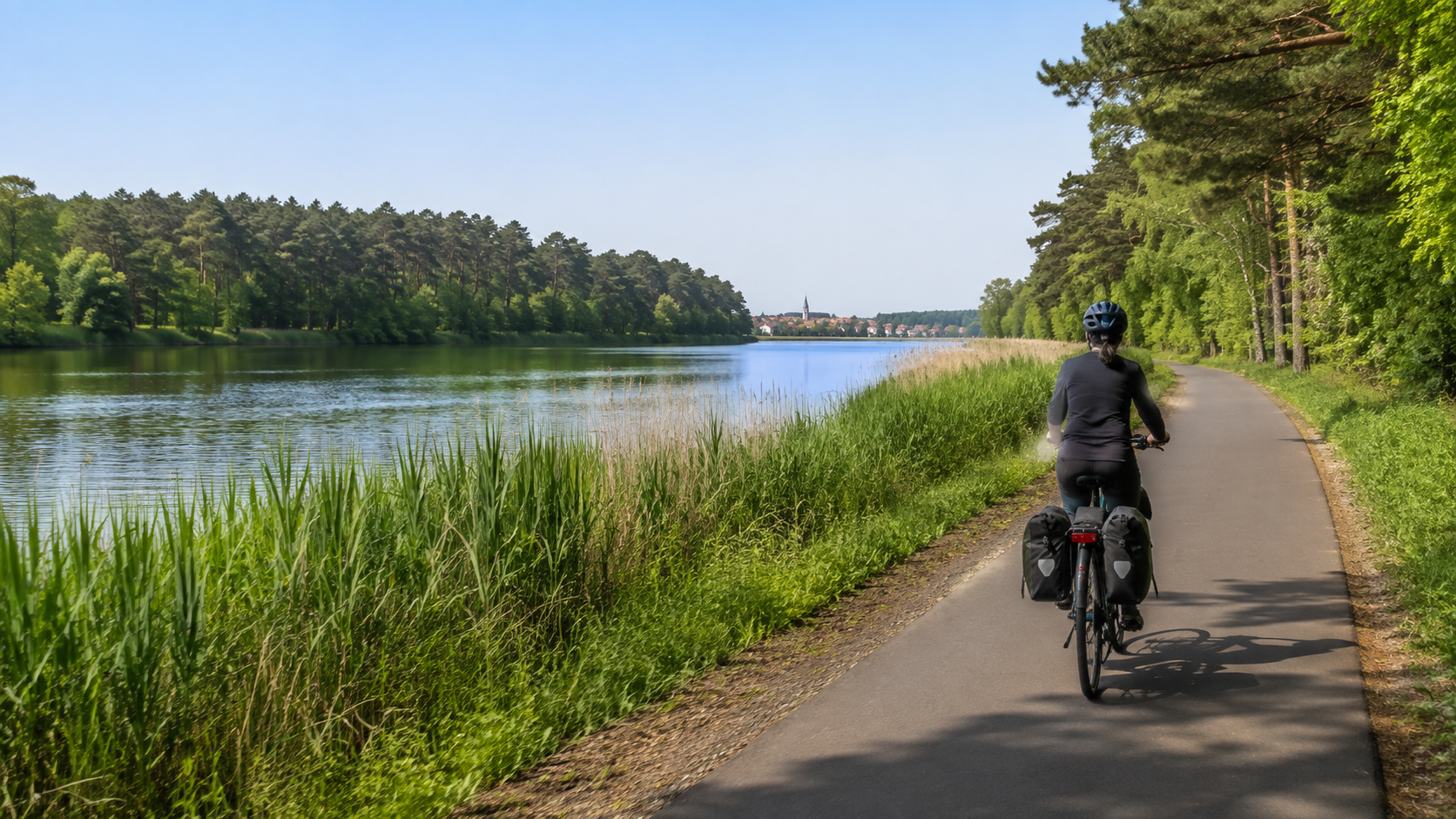
The Havel Cycle Route follows the river from its source region near Ankershagen to its confluence with the Elbe near Gnevsdorf. The official figures initially appear contradictory: the route website gives approximately 370 to 371 kilometers, while the Brandenburg tourism portal lists just under 400 kilometers for its complete track. The difference results from access routes to the start, variants, and the respective endpoint selected. For a complete trip including the source and estuary, you should therefore plan for around 400 kilometers and ride exactly the GPX track you checked before booking.
Havel Cycle Route at a glance
| Point | Planning figure |
|---|---|
| Length | Depending on the official track, approximately 370–397 km; for the full source-to-estuary tour, plan for around 400 km |
| Start | Havel source near Ankershagen/Pieverstorf; practical rail access via Kratzeburg followed by a connecting bike ride |
| Destination | Gnevsdorf at the Elbe estuary; for the train, continue by bike toward Wittenberge |
| Standard plan | Standard plan: 6 riding days of about 59 to 76 km; 7 to 8 days are more relaxed |
| Profile | Mostly flat to gently hilly, but with varying surfaces and long rural sections |
| Ferry | BVG F10 ferry line between Alt-Kladow and Wannsee on the Berlin section |
The route crosses Mecklenburg-Western Pomerania, Brandenburg, Berlin, and Saxony-Anhalt. Its strength lies in the variety: lakes and forests in the north, urban sections near Oranienburg, Berlin, and Potsdam, and wide floodplains in the Havelland. However, this also means that infrastructure and traffic volumes are not the same every day. Download the track from the official Brandenburg portal and compare it with the stages provided by the route operator.

Six stages from the source to the Elbe
The following figures are based on the official stage portals and have been rounded. Because the full track and individual stages may include different access routes, you should not add the figures together as an exact measurement. If you have not yet ridden 70 kilometers with luggage, split Stage 2 or 6.
| Day | Section | approx. km | Important for planning |
|---|---|---|---|
| 1 | Ankershagen/Pieverstorf–Fürstenberg/Havel | 64–73 | Include the approach from Kratzeburg to the source in the day’s route; stock up on water and food before starting |
| 2 | Fürstenberg/Havel–Oranienburg | 76 | Longest regular day; start early or split it in Zehdenick |
| 3 | Oranienburg–Potsdam | 66–67 | Urban section via Berlin-Spandau; check F10 and the daily timetable |
| 4 | Potsdam–Brandenburg an der Havel | 59 | Moderate day; allow for urban traffic at both ends |
| 5 | Brandenburg an der Havel–Rathenow | 65–67 | Changing surfaces possible; keep a repair kit and food reserve readily accessible |
| 6 | Rathenow–Gnevsdorf | 70–72 | Allow for an additional approximately 16 km after the endpoint to reach Wittenberge for the return journey by train |
A more relaxed seven-day option results from splitting Fürstenberg–Oranienburg in Zehdenick. With eight days, you can also break up the final long section. Do not simply book a place halfway along the straight-line distance: check whether it lies on the current track, has open accommodation, and offers somewhere to buy food.
Arriving and departing without incorrect assumptions about trains
The source of the Havel is not directly near a long-distance railway station. The Brandenburg portal recommends Kratzeburg as the railway access point; from there, it is approximately ten kilometers in the opposite direction to the source. Alternatively, a longer approach from Waren is possible. At the other end, Gnevsdorf has no suitable station for an easy return journey. The official route entry lists around 16 kilometers along the Elbe Cycle Route to Wittenberge. Include these approaches in your mileage and time calculations.
In German long-distance transport, you need a bicycle ticket and a bicycle space reservation for a bicycle that is not folded. Regional fares apply on local transport, and there is no guarantee that your bike can be taken on board if the train is full. Therefore, search on DB with a bicycle added, allow generous transfer times, and note a later connection as a backup. Current line numbers or timetables from older route descriptions are not confirmation of a booking.
Ferry F10: small but relevant for planning
On the Berlin section, the F10 crosses the Großer Wannsee between Alt-Kladow and S Wannsee. BVG states a journey time of around 20 minutes. Bicycles are carried only if sufficient space is available; the operating staff decide. Service may be suspended in fog or icy conditions. Therefore, check the BVG F10 route page on the day of travel and keep a current route alternative on land ready. The ticket and bicycle regulations must also be checked; any short-distance fare is not automatically sufficient.
Travel period and daily rhythm
The route operator names May to October as a suitable period. Late spring and early autumn are often pleasant for long stages, but flooding, heat, storms, or forestry work are possible even then. Check weather warnings and regional route updates before every departure. In the event of an official warning, do not rigidly stick to your booking plan.
Start a 70-kilometer day early, but do not plan only for pure riding time. Breakfast, shopping, photo stops, the ferry, navigation, and minor repairs all require some reserve. Decide no later than the evening before where you will refill your water. On the rural stages between Brandenburg, Rathenow, and Gnevsdorf, the distance between open amenities may be greater than in the Berlin-Potsdam area.
Book accommodation and meals sensibly
- Ask about secure, level bicycle storage and whether late arrival is possible.
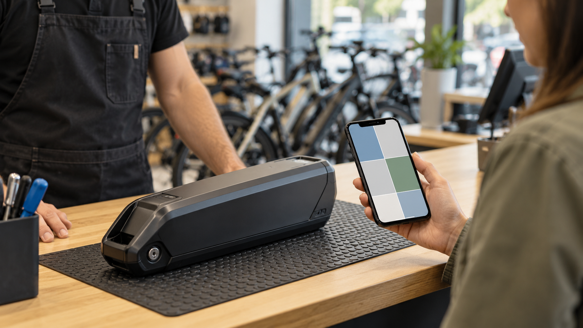
- Confirm a charging option directly with the property instead of inferring it from the room description.
- Book earlier in small towns and check restaurants’ and shops’ closing days.
- Carry enough water to reach the next safe refill point, as well as a substantial emergency meal.
- Save addresses, phone numbers, and check-in times offline.
Preparation checklist
- Save the official GPX track and an offline map for each day’s destination
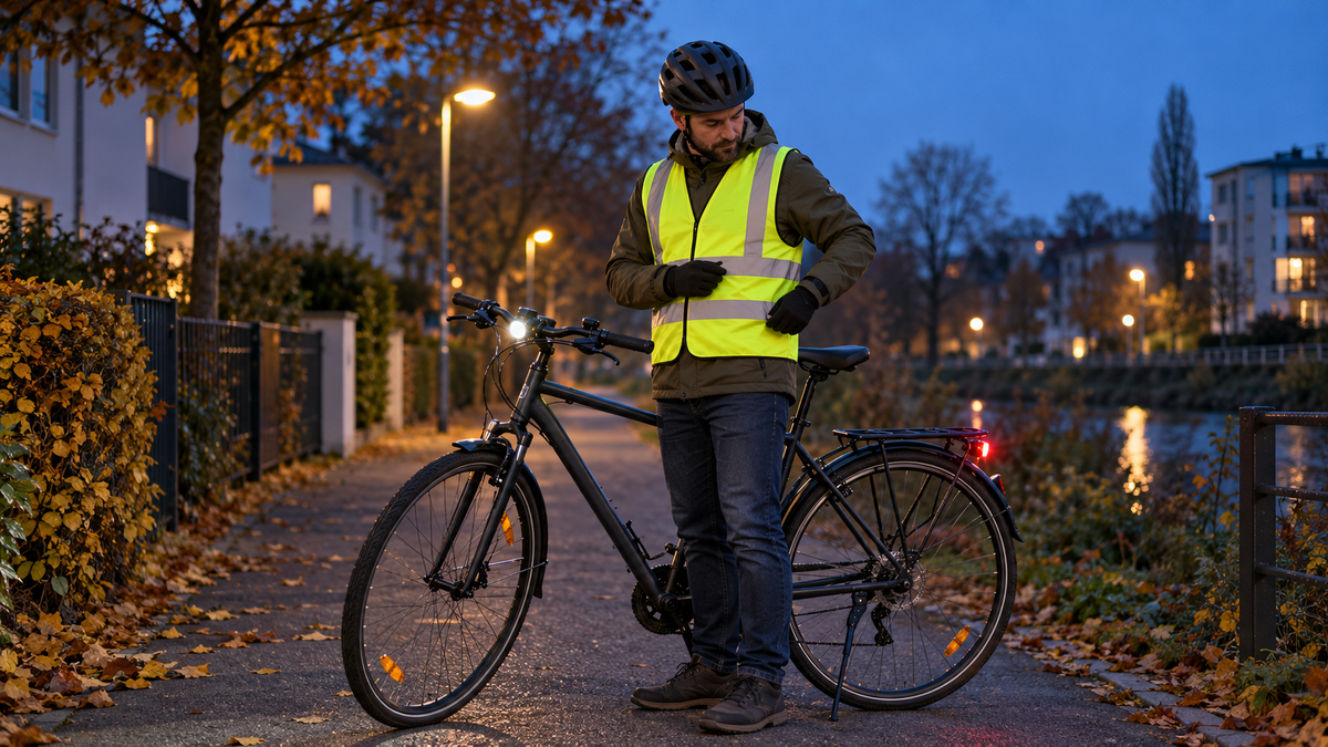
- Check the brakes, tires, chain, lights, and luggage rack before the tour
- Pack a suitable inner tube or repair materials, a pump, and basic tools
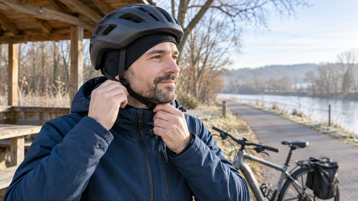
- Bring rain, wind, and sun protection for exposed floodplains and lake sections
- Check the F10 status, bicycle space on the train, and the final 16 kilometers to Wittenberge separately
- For an e-bike, plan charging points only after confirmation and do not estimate the range
Distribute your reserve sensibly
Do not schedule every night so tightly that one delay shifts the entire trip. Accommodation with a clear cancellation or late-arrival policy is particularly helpful before the F10 and before the long final day. Note a safe stopping point for each day, but check the actual bicycle carriage there. A bus connection without confirmed bicycle transport is not a reliable Plan B. If headwinds, heat, or soft ground slow your pace, cut a detour first—not your meal or rest break. This keeps the six-day plan as a guide rather than turning it into time pressure.
Frequently asked questions
Is the Havel Cycle Route 370 or 397 kilometres long?
Both figures appear in official route information. They apparently refer to different track versions, access routes, or endpoints. For the complete trip, around 400 kilometres is the safe planning figure; your actual distance will come from the GPX file you choose.
Is the tour suitable for beginners?
The terrain is generally moderate, but six days of up to 76 kilometres is not automatically easy. Split up long stages and test yourself for several days beforehand with your actual luggage.
Where is the Havel Cycle Route most scenic?
For lakes and forests, the northern section from the source toward Fürstenberg is particularly suitable. Potsdam and Berlin combine waterscapes with culture and more infrastructure. If you are looking for peace and expansive floodplains, allow more time in the Havelland and along the Lower Havel. Choose the focus according to your travel style rather than a general ranking.
Can I board the train at every stage destination?
Several places have rail connections, but neither timetables nor bicycle capacity are guaranteed. In particular, the source and the mouth require cycling access. Check each specific connection again.
Do I have to take the F10?
It is part of the standard route through the Berlin section. If it is cancelled, you need a current alternative route. Plan this in advance instead of improvising at the dock.
Official planning: Havel Cycle Route stage overview, track and travel information from Reiseland Brandenburg, and BVG F10.
Share:
Changing bicycle pedals: How to identify a left-hand thread safely
Kocher-Jagst Cycle Route in 6 Days: Circular Tour Starting in Aalen